Precipitation serves as a vital component of Earth’s hydrological cycle, functioning as both a life-sustaining force and a potential harbinger of destruction. It nourishes crops, replenishes freshwater sources, and supports ecosystems. However, it also has the capacity to trigger natural disasters such as floods and landslides, disproportionately impacting vulnerable populations. Given its dual nature, an accurate understanding of precipitation patterns is paramount for effective water resource management, agricultural planning, and disaster preparedness.
The Tibetan Plateau presents a unique case study in hydrometeorology, with its complex geography and extreme altitude complicating traditional methods of precipitation measurement and classification. This high-altitude region significantly influences the Asian monsoon systems and is critical to understanding broader climatic phenomena. However, data collection and analysis of precipitation types across this rugged terrain is fraught with challenges, particularly when relying on satellite technology.
Satellite-borne precipitation radar has revolutionized how meteorologists analyze weather patterns; however, the elevation of the Tibetan Plateau poses unique challenges. Situations have arisen where convective precipitation—characterized by vertically developed clouds—is misidentified as stratiform precipitation, which is typically more homogeneous and occurs within stable atmospheric conditions. This misclassification can substantially skew predictions and hinder accurate weather assessments.
The altitude of the plateau closely mirrors the freezing level, generating situations where the radar’s interpretation of precipitation types can easily become erroneous. These complications in data interpretation reveal the critical need for tailored solutions in analyzing precipitation in such geographically distinct areas.
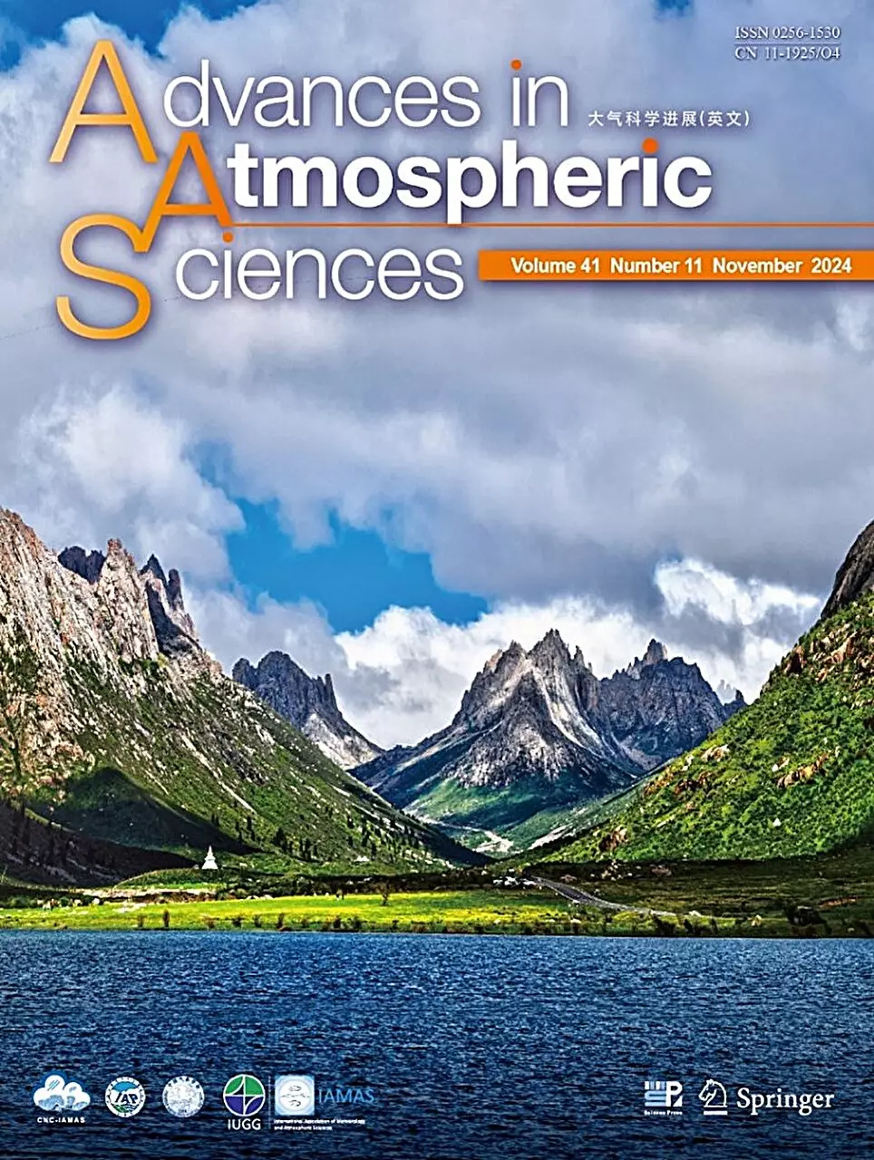
In a groundbreaking study featured in the journal *Advances in Atmospheric Sciences*, researchers from the University of Science and Technology of China (USTC), led by Prof. Fu Yunfei, critically examined these issues and proposed a new framework for the classification and identification of precipitation types over the Tibetan Plateau. By delving into the existing algorithms, the team identified specific weaknesses that arise during summer months—a crucial period for precipitation over this region.
Advancements in Precipitation Classification
Prof. Fu and his team approached the problem with a desire to transcend the limitations of existing methodologies, much of which stem from observational data gathered in areas devoid of such complex geographical features. The traditional binary classification of precipitation offers limited utility when it comes to predicting weather in high-altitude regions. By incorporating more nuanced parameters, such as maximum reflectivity factor, echo top height, and background reflectivity, the researchers developed a new algorithm.
This innovative approach resulted in a more sophisticated categorization of precipitation types that includes “strong convective,” “weak convective,” “weak,” and “other.” These improvements not only reduce the occurrence of misclassifications but also enhance the granularity of information available to meteorologists and, consequently, to communities that rely on accurate weather forecasting for their livelihoods.
The ramifications of this study extend far beyond academic circles, positioning it as an essential tool for improving weather forecasting in mountainous terrains like the Tibetan Plateau. Enhanced classification systems can significantly influence resource management and disaster preparedness among local populations who are exceedingly dependent on accurate weather predictions.
Prof. Fu also acknowledges that much work remains in the field. A specific challenge still lying ahead is verifying the presence and behavior of stratiform precipitation during the summer months on the plateau—a task complicated by the satellite measurement limitations. The ongoing research promises not only to deepen our understanding of precipitation dynamics in high-altitude environments but also to lay the groundwork for applications that may benefit vulnerable communities.
The strides made by Fu and his colleagues mark a crucial evolution in the field of meteorology, emphasizing the need for adaptable methodologies that account for geographical diversity. As researchers continue to refine their understanding of precipitation patterns on the Tibetan Plateau, the integration of these nuanced insights into broader meteorological practices can lead to more resilient communities across this unique landscape. The evolution of our understanding of precipitation systems can ultimately serve as a beacon of hope for sustainable living amid the inherent unpredictability of nature.

